Mine was a pint
Introduction
The photograph on this page of Mine was a pint by Rich Tea as part of the Geograph project.
The Geograph project started in 2005 with the aim of publishing, organising and preserving representative images for every square kilometre of Great Britain, Ireland and the Isle of Man.

There are currently over 7.5m images from over 14,400 individuals and you can help contribute to the project by visiting https://www.geograph.org.uk
Mine was a pint
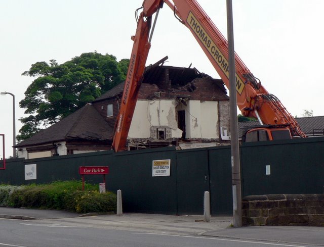
Image: © Rich Tea Taken: 7 Jun 2008
Three-quarters of The Chained Bull has now been demolished.
Images are licensed for reuse under creativecommons.org/licenses/by-sa/2.0
Image Location
Latitude
53.844719
Longitude
-1.534274