View of Lough Neagh
Introduction
The photograph on this page of View of Lough Neagh by P Flannagan as part of the Geograph project.
The Geograph project started in 2005 with the aim of publishing, organising and preserving representative images for every square kilometre of Great Britain, Ireland and the Isle of Man.

There are currently over 7.5m images from over 14,400 individuals and you can help contribute to the project by visiting https://www.geograph.org.uk
View of Lough Neagh
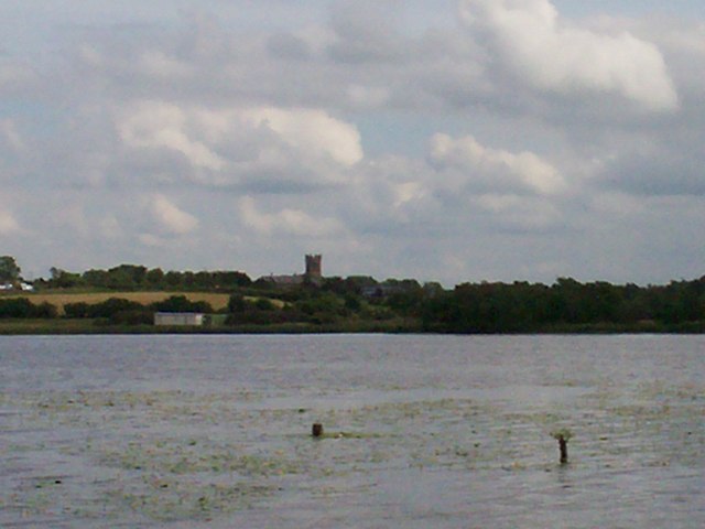
Image: © P Flannagan Taken: 8 Jun 2008
The photograph was taken from Maghery Slip. The tower of Milltown Parish Church can be seen in centre back of the photograph.
Images are licensed for reuse under creativecommons.org/licenses/by-sa/2.0
Image Location


Leaflet Map data © OpenStreetMap
Latitude
54.510883
Longitude
-6.568919