Meon Valley Trail
Introduction
The photograph on this page of Meon Valley Trail by Pierre Terre as part of the Geograph project.
The Geograph project started in 2005 with the aim of publishing, organising and preserving representative images for every square kilometre of Great Britain, Ireland and the Isle of Man.

There are currently over 7.5m images from over 14,400 individuals and you can help contribute to the project by visiting https://www.geograph.org.uk
Meon Valley Trail
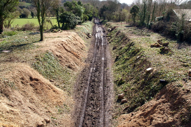
Image: © Pierre Terre Taken: 27 Mar 2008
Looking south from Pound Lane bridge, Meonstoke. trees have recently been felled on the cutting sides.
Images are licensed for reuse under creativecommons.org/licenses/by-sa/2.0
Image Location
Latitude
50.976129
Longitude
-1.124396