The bottom of Lon Hafodty
Introduction
The photograph on this page of The bottom of Lon Hafodty by Eric Jones as part of the Geograph project.
The Geograph project started in 2005 with the aim of publishing, organising and preserving representative images for every square kilometre of Great Britain, Ireland and the Isle of Man.

There are currently over 7.5m images from over 14,400 individuals and you can help contribute to the project by visiting https://www.geograph.org.uk
The bottom of Lon Hafodty
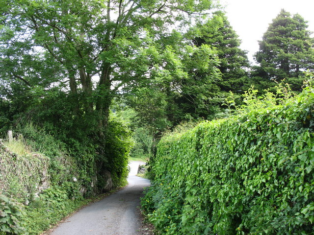
Image: © Eric Jones Taken: 31 May 2008
This is a narrow lane signed as being "unsuitable to wide vehicles".
Images are licensed for reuse under creativecommons.org/licenses/by-sa/2.0
Image Location
Latitude
53.187174
Longitude
-4.082494