Fairfield station
Introduction
The photograph on this page of Fairfield station by Peter Whatley as part of the Geograph project.
The Geograph project started in 2005 with the aim of publishing, organising and preserving representative images for every square kilometre of Great Britain, Ireland and the Isle of Man.

There are currently over 7.5m images from over 14,400 individuals and you can help contribute to the project by visiting https://www.geograph.org.uk
Fairfield station
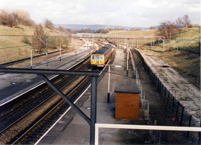
Image: © Peter Whatley Taken: 24 Mar 1989
Former slow lines to the left and loop to Reddish depot and Manchester Central on the right of the remaining active tracks.
Images are licensed for reuse under creativecommons.org/licenses/by-sa/2.0
Image Location


Leaflet Map data © OpenStreetMap
Latitude
53.471267
Longitude
-2.144283