Eastcote: Cheney Street
Introduction
The photograph on this page of Eastcote: Cheney Street by Nigel Cox as part of the Geograph project.
The Geograph project started in 2005 with the aim of publishing, organising and preserving representative images for every square kilometre of Great Britain, Ireland and the Isle of Man.

There are currently over 7.5m images from over 14,400 individuals and you can help contribute to the project by visiting https://www.geograph.org.uk
Eastcote: Cheney Street
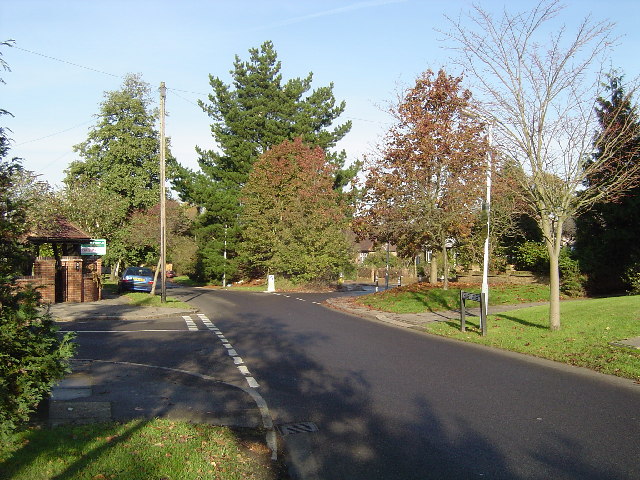
Image: © Nigel Cox Taken: 20 Nov 2005
Viewed looking northwards, Burwood Avenue to the left, Chiltern Road to the right.
Images are licensed for reuse under creativecommons.org/licenses/by-sa/2.0
Image Location
Latitude
51.586193
Longitude
-0.396354