Tidal end of the River Brent
Introduction
The photograph on this page of Tidal end of the River Brent by David Hawgood as part of the Geograph project.
The Geograph project started in 2005 with the aim of publishing, organising and preserving representative images for every square kilometre of Great Britain, Ireland and the Isle of Man.

There are currently over 7.5m images from over 14,400 individuals and you can help contribute to the project by visiting https://www.geograph.org.uk
Tidal end of the River Brent
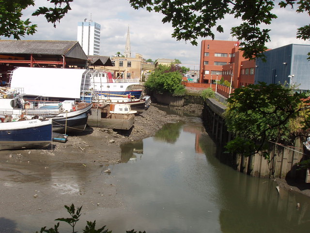
Image: © David Hawgood Taken: 20 May 2008
Only the last 300 yards of the Brent is tidal as it joins the Thames in Brentford. Above that for about four kilometres it is either the main channel of the Grand Union Canal or just beside it. This photo of the docks is from the riverside walk of Justin Close.
Images are licensed for reuse under creativecommons.org/licenses/by-sa/2.0
Image Location
Latitude
51.483097
Longitude
-0.303623