Rother Valley footpath
Introduction
The photograph on this page of Rother Valley footpath by Alan Murray-Rust as part of the Geograph project.
The Geograph project started in 2005 with the aim of publishing, organising and preserving representative images for every square kilometre of Great Britain, Ireland and the Isle of Man.

There are currently over 7.5m images from over 14,400 individuals and you can help contribute to the project by visiting https://www.geograph.org.uk
Rother Valley footpath
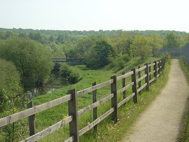
Image: © Alan Murray-Rust Taken: 11 May 2008
Looking south near Canklow. The river bank is not as inviting as it looks - the main growth is nettles.
Images are licensed for reuse under creativecommons.org/licenses/by-sa/2.0
Image Location
Latitude
53.412486
Longitude
-1.362235