King Barrow
Introduction
The photograph on this page of King Barrow by Adrian King as part of the Geograph project.
The Geograph project started in 2005 with the aim of publishing, organising and preserving representative images for every square kilometre of Great Britain, Ireland and the Isle of Man.

There are currently over 7.5m images from over 14,400 individuals and you can help contribute to the project by visiting https://www.geograph.org.uk
King Barrow
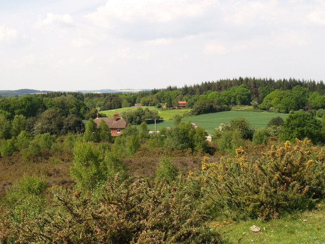
Image: © Adrian King Taken: 11 May 2008
The bungalow in the foreground is on the B3078 and Hither Daggons Wood is in the distance.
Images are licensed for reuse under creativecommons.org/licenses/by-sa/2.0
Image Location


Leaflet Map data © OpenStreetMap
Latitude
50.91432
Longitude
-1.867945