Approaching Hiltingbury Lakes from Hiltingbury Road
Introduction
The photograph on this page of Approaching Hiltingbury Lakes from Hiltingbury Road by Peter Facey as part of the Geograph project.
The Geograph project started in 2005 with the aim of publishing, organising and preserving representative images for every square kilometre of Great Britain, Ireland and the Isle of Man.

There are currently over 7.5m images from over 14,400 individuals and you can help contribute to the project by visiting https://www.geograph.org.uk
Approaching Hiltingbury Lakes from Hiltingbury Road
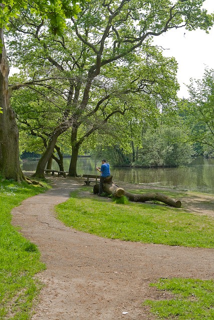
Image: © Peter Facey Taken: 9 May 2008
The lakes are surrounded by woodland. A small island in the biggest northernmost lake can be seen to the right of the blue man.
Images are licensed for reuse under creativecommons.org/licenses/by-sa/2.0
Image Location
Latitude
50.994901
Longitude
-1.372554