Road signs, Ballydown, Banbridge
Introduction
The photograph on this page of Road signs, Ballydown, Banbridge by Albert Bridge as part of the Geograph project.
The Geograph project started in 2005 with the aim of publishing, organising and preserving representative images for every square kilometre of Great Britain, Ireland and the Isle of Man.

There are currently over 7.5m images from over 14,400 individuals and you can help contribute to the project by visiting https://www.geograph.org.uk
Road signs, Ballydown, Banbridge
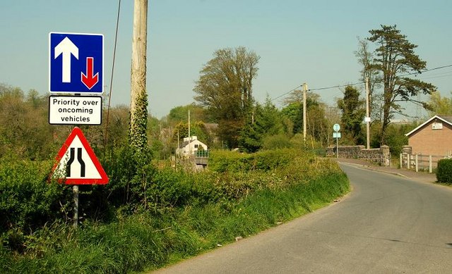
Image: © Albert Bridge Taken: 7 May 2008
Two cars can cross on the Ballydown Road but not on Lindsay’s Bridge Image The bridge is at the middle right with the Young Farmers hall on the right. The view is towards the Castlewellan Road.
Images are licensed for reuse under creativecommons.org/licenses/by-sa/2.0
Image Location
Latitude
54.340766
Longitude
-6.251925