Shingle Road
Introduction
The photograph on this page of Shingle Road by Ian Capper as part of the Geograph project.
The Geograph project started in 2005 with the aim of publishing, organising and preserving representative images for every square kilometre of Great Britain, Ireland and the Isle of Man.

There are currently over 7.5m images from over 14,400 individuals and you can help contribute to the project by visiting https://www.geograph.org.uk
Shingle Road
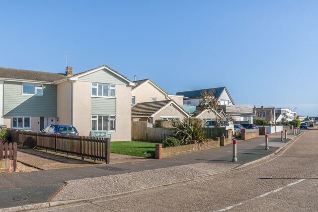
Image: © Ian Capper Taken: 17 Mar 2022
Houses in Shingle Road. The road is first shown (largely undeveloped) on the 1937 25" map, but the 1912 edition shows a tramway along the line it now follows.
Images are licensed for reuse under creativecommons.org/licenses/by-sa/2.0
Image Location
Latitude
50.829505
Longitude
-0.266151