Footpath to Boscawen-ûn
Introduction
The photograph on this page of Footpath to Boscawen-ûn by Rob Farrow as part of the Geograph project.
The Geograph project started in 2005 with the aim of publishing, organising and preserving representative images for every square kilometre of Great Britain, Ireland and the Isle of Man.

There are currently over 7.5m images from over 14,400 individuals and you can help contribute to the project by visiting https://www.geograph.org.uk
Footpath to Boscawen-ûn
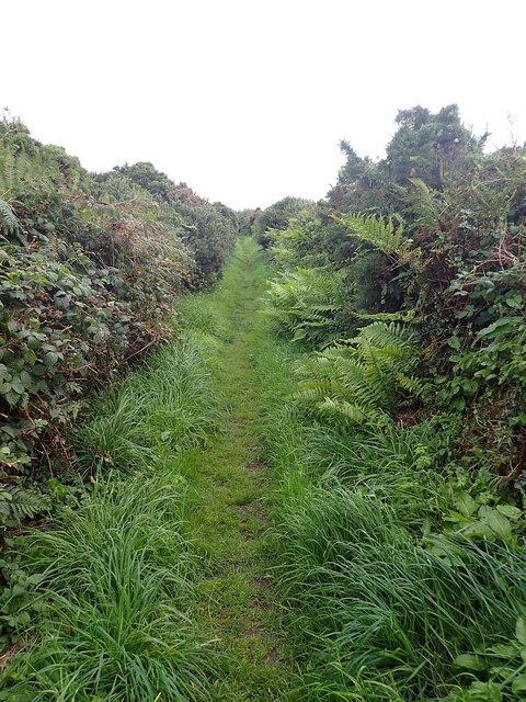
Image: © Rob Farrow Taken: 15 Sep 2024
Looking back along the footpath that leads to Image] stone circle (i.e. looking away from the circle). The public footpath starts as a farm track (see Image]) but with about 400 yds/metres to go one needs to fork off to the right along this grassy footpath.
Images are licensed for reuse under creativecommons.org/licenses/by-sa/2.0
Image Location


Leaflet Map data © OpenStreetMap
Latitude
50.090433
Longitude
-5.61526