Martineau Drive, Dorking
Introduction
The photograph on this page of Martineau Drive, Dorking by P Harris as part of the Geograph project.
The Geograph project started in 2005 with the aim of publishing, organising and preserving representative images for every square kilometre of Great Britain, Ireland and the Isle of Man.

There are currently over 7.5m images from over 14,400 individuals and you can help contribute to the project by visiting https://www.geograph.org.uk
Martineau Drive, Dorking
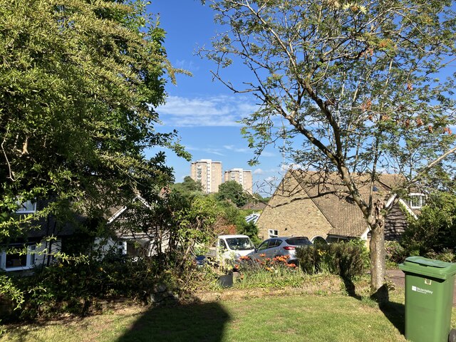
Image: © P Harris Taken: 21 Jun 2024
View east from Martineau Drive, Dorking, with the Wenlock Edge and Linden Lea tower blocks of Goodwyns estate visible on the skyline.
Images are licensed for reuse under creativecommons.org/licenses/by-sa/2.0
Image Location
Latitude
51.219425
Longitude
-0.327939