Footpath near Monkton Combe
Introduction
The photograph on this page of Footpath near Monkton Combe by Graham D as part of the Geograph project.
The Geograph project started in 2005 with the aim of publishing, organising and preserving representative images for every square kilometre of Great Britain, Ireland and the Isle of Man.

There are currently over 7.5m images from over 14,400 individuals and you can help contribute to the project by visiting https://www.geograph.org.uk
Footpath near Monkton Combe
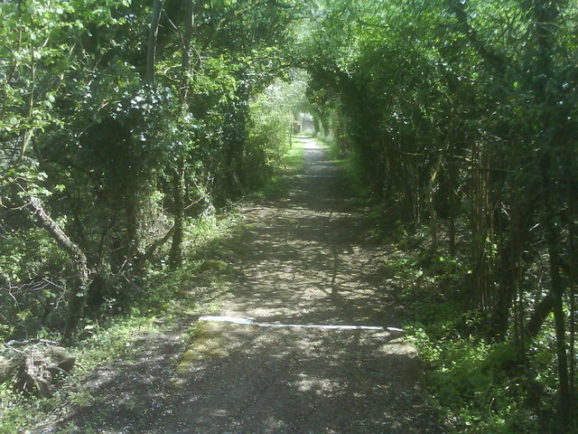
Image: © Graham D Taken: 26 Apr 2008
This enclosed footpath links Monkton Combe with the south of Bath. Though it is marked as a bridleway on OS maps, it is signed as a footpath and contains steps so is unsuitable for horses.
Images are licensed for reuse under creativecommons.org/licenses/by-sa/2.0
Image Location
Latitude
51.357776
Longitude
-2.329691