Old Boundary Marker on the A394 in Longlands, perhaps
Introduction
The photograph on this page of Old Boundary Marker on the A394 in Longlands, perhaps by P Barnett as part of the Geograph project.
The Geograph project started in 2005 with the aim of publishing, organising and preserving representative images for every square kilometre of Great Britain, Ireland and the Isle of Man.

There are currently over 7.5m images from over 14,400 individuals and you can help contribute to the project by visiting https://www.geograph.org.uk
Old Boundary Marker on the A394 in Longlands, perhaps
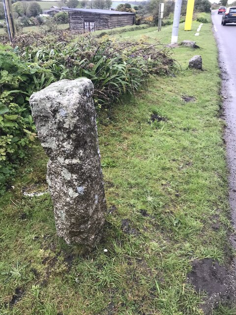
Image: © P Barnett Taken: 26 Apr 2024
Perhaps a Parish Boundary Marker on the south side of the A394 in Longlands, west of Myrtle Cottage. Stithians parish. On the former boundary of Stithians and Mabe parishes but now entirely in Stithians parish. Not marked on old Ordnance Survey maps and no inscription, so its function is uncertain. Milestone Society National ID: CW_STIT02pb
Images are licensed for reuse under creativecommons.org/licenses/by-sa/2.0
Image Location
Latitude
50.164197
Longitude
-5.159906