Carlisle Road, Dalston
Introduction
The photograph on this page of Carlisle Road, Dalston by Adrian Taylor as part of the Geograph project.
The Geograph project started in 2005 with the aim of publishing, organising and preserving representative images for every square kilometre of Great Britain, Ireland and the Isle of Man.

There are currently over 7.5m images from over 14,400 individuals and you can help contribute to the project by visiting https://www.geograph.org.uk
Carlisle Road, Dalston
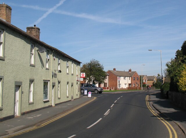
Image: © Adrian Taylor Taken: 28 Sep 2013
The B5299 Carlisle Road near the junction with Station Road. Carlisle Road is the route of National Cycle Network Routes 7 and 10 and also the route of The Cumbria Way long distance path from Ulverston to Carlisle (next photograph Image).
Images are licensed for reuse under creativecommons.org/licenses/by-sa/2.0
Image Location
Latitude
54.843522
Longitude
-2.983492