Approaching Fourteen Locks from the west
Introduction
The photograph on this page of Approaching Fourteen Locks from the west by Robin Drayton as part of the Geograph project.
The Geograph project started in 2005 with the aim of publishing, organising and preserving representative images for every square kilometre of Great Britain, Ireland and the Isle of Man.

There are currently over 7.5m images from over 14,400 individuals and you can help contribute to the project by visiting https://www.geograph.org.uk
Approaching Fourteen Locks from the west
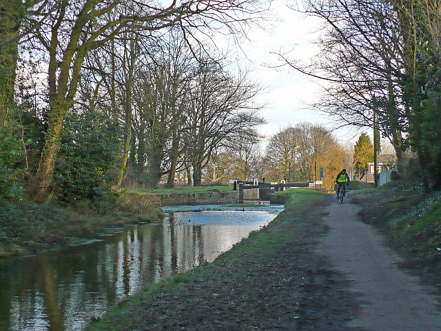
Image: © Robin Drayton Taken: 1 Feb 2008
The towpath at this point is part of National Cycle Route 47 and also the Sirhowy Valley Walk.
Images are licensed for reuse under creativecommons.org/licenses/by-sa/2.0
Image Location
Latitude
51.591164
Longitude
-3.042603