Groomsport Driving Range
Introduction
The photograph on this page of Groomsport Driving Range by Rossographer as part of the Geograph project.
The Geograph project started in 2005 with the aim of publishing, organising and preserving representative images for every square kilometre of Great Britain, Ireland and the Isle of Man.

There are currently over 7.5m images from over 14,400 individuals and you can help contribute to the project by visiting https://www.geograph.org.uk
Groomsport Driving Range
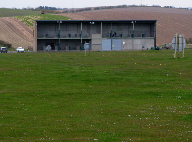
Image: © Rossographer Taken: 18 Apr 2008
What was once a field regularly sown in barley or wheat was converted into a driving range some 15 years ago.
Images are licensed for reuse under creativecommons.org/licenses/by-sa/2.0
Image Location


Leaflet Map data © OpenStreetMap
Latitude
54.665141
Longitude
-5.61645