Blackford Combe
Introduction
The photograph on this page of Blackford Combe by Derek Harper as part of the Geograph project.
The Geograph project started in 2005 with the aim of publishing, organising and preserving representative images for every square kilometre of Great Britain, Ireland and the Isle of Man.

There are currently over 7.5m images from over 14,400 individuals and you can help contribute to the project by visiting https://www.geograph.org.uk
Blackford Combe
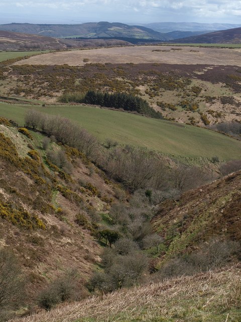
Image: © Derek Harper Taken: 12 Apr 2008
This view down the steep Image shows Tarr Ball Hill in SS8644, beyond the Nutscale Water valley, with the countryside inland from Minehead in the background.
Images are licensed for reuse under creativecommons.org/licenses/by-sa/2.0
Image Location


Leaflet Map data © OpenStreetMap
Latitude
51.184877
Longitude
-3.634509