Fferm Penbeili-mawr
Introduction
The photograph on this page of Fferm Penbeili-mawr by Marion Phillips as part of the Geograph project.
The Geograph project started in 2005 with the aim of publishing, organising and preserving representative images for every square kilometre of Great Britain, Ireland and the Isle of Man.

There are currently over 7.5m images from over 14,400 individuals and you can help contribute to the project by visiting https://www.geograph.org.uk
Fferm Penbeili-mawr
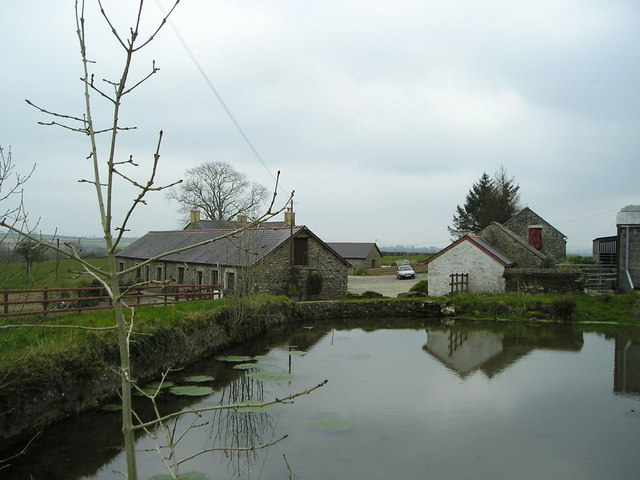
Image: © Marion Phillips Taken: 20 Apr 2008
This farm is now used to provide holiday cottages in a very rural location. The actual farmhouse is hidden behind the row of cottages which at one time were probably the old cowshed.
Images are licensed for reuse under creativecommons.org/licenses/by-sa/2.0
Image Location
Latitude
52.066898
Longitude
-4.388446