Pond at site of St Lazarus Hospital
Introduction
The photograph on this page of Pond at site of St Lazarus Hospital by Tim Heaton as part of the Geograph project.
The Geograph project started in 2005 with the aim of publishing, organising and preserving representative images for every square kilometre of Great Britain, Ireland and the Isle of Man.

There are currently over 7.5m images from over 14,400 individuals and you can help contribute to the project by visiting https://www.geograph.org.uk
Pond at site of St Lazarus Hospital
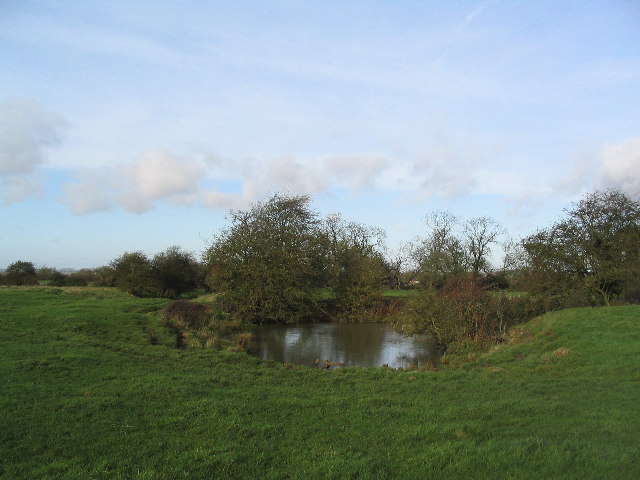
Image: © Tim Heaton Taken: 12 Nov 2005
One of several ponds, possibly former fish ponds. The constant level of water in these ponds suggests they may be fed by a spring, which would be surprising as this is the highest point in the immediate area.
Images are licensed for reuse under creativecommons.org/licenses/by-sa/2.0
Image Location


Leaflet Map data © OpenStreetMap
Latitude
52.743422
Longitude
-0.868246