Crowtrees Crescent, Rastrick
Introduction
The photograph on this page of Crowtrees Crescent, Rastrick by Humphrey Bolton as part of the Geograph project.
The Geograph project started in 2005 with the aim of publishing, organising and preserving representative images for every square kilometre of Great Britain, Ireland and the Isle of Man.

There are currently over 7.5m images from over 14,400 individuals and you can help contribute to the project by visiting https://www.geograph.org.uk
Crowtrees Crescent, Rastrick
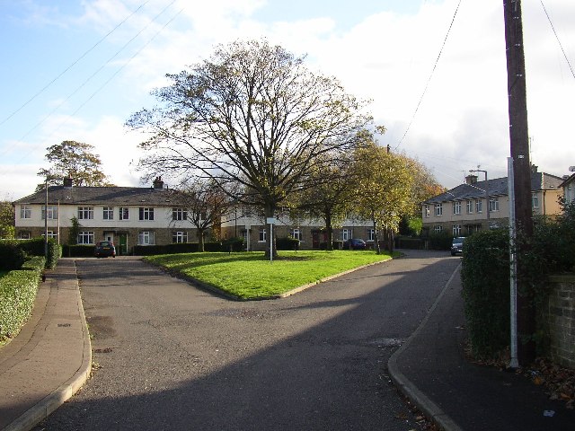
Image: © Humphrey Bolton Taken: 12 Nov 2005
Crowtrees Crescent was built as a council housing estate - one of the first in Brighouse. There were 20 houses and 2 bungalows, but there had been a quarry in the site and four of the houses subsided and collapsed.
Images are licensed for reuse under creativecommons.org/licenses/by-sa/2.0
Image Location
Latitude
53.688871
Longitude
-1.79251