Duntocher Burn, Duntocher
Introduction
The photograph on this page of Duntocher Burn, Duntocher by Stephen Sweeney as part of the Geograph project.
The Geograph project started in 2005 with the aim of publishing, organising and preserving representative images for every square kilometre of Great Britain, Ireland and the Isle of Man.

There are currently over 7.5m images from over 14,400 individuals and you can help contribute to the project by visiting https://www.geograph.org.uk
Duntocher Burn, Duntocher
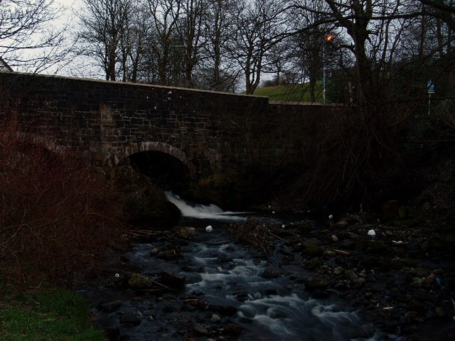
Image: © Stephen Sweeney Taken: 9 Apr 2008
Before reaching the village of Duntocher, the burn is known as the Loch Humphrey Burn, as this is where it is sourced. From Duntocher to its mouth at the Clyde, it is known as Duntocher Burn.
Images are licensed for reuse under creativecommons.org/licenses/by-sa/2.0
Image Location
Latitude
55.924348
Longitude
-4.41209