Dismantled Railway
Introduction
The photograph on this page of Dismantled Railway by Simon Carey as part of the Geograph project.
The Geograph project started in 2005 with the aim of publishing, organising and preserving representative images for every square kilometre of Great Britain, Ireland and the Isle of Man.

There are currently over 7.5m images from over 14,400 individuals and you can help contribute to the project by visiting https://www.geograph.org.uk
Dismantled Railway
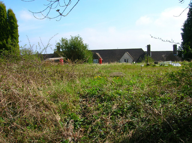
Image: © Simon Carey Taken: 20 Apr 2008
The trackbed of the old Lewes-East Grinstead line is visible in the foreground and while currently empty will be relaid in the future as the Bluebell Railway extends into the town to join the main network, the first time it will have done so since 1963 when the branch from Haywards Heath to Horsted Keynes was closed. The houses beyond are in The Close.
Images are licensed for reuse under creativecommons.org/licenses/by-sa/2.0
Image Location


Leaflet Map data © OpenStreetMap
Latitude
51.123741
Longitude
-0.022439