Suburban footpath, Windy Arbour
Introduction
The photograph on this page of Suburban footpath, Windy Arbour by A J Paxton as part of the Geograph project.
The Geograph project started in 2005 with the aim of publishing, organising and preserving representative images for every square kilometre of Great Britain, Ireland and the Isle of Man.

There are currently over 7.5m images from over 14,400 individuals and you can help contribute to the project by visiting https://www.geograph.org.uk
Suburban footpath, Windy Arbour
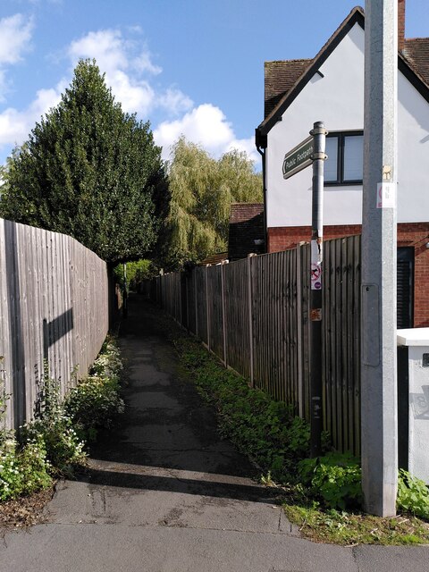
Image: © A J Paxton Taken: 3 Oct 2023
The path runs eastwards to Dencer Drive (via Narnia - see Image]), following the route it took when it was a path through fields, as the OS Six Inch map series shows.
Images are licensed for reuse under creativecommons.org/licenses/by-sa/2.0
Image Location
Latitude
52.341633
Longitude
-1.562635