Old field boundaries, Hutton Buscel
Introduction
The photograph on this page of Old field boundaries, Hutton Buscel by Christopher Hall as part of the Geograph project.
The Geograph project started in 2005 with the aim of publishing, organising and preserving representative images for every square kilometre of Great Britain, Ireland and the Isle of Man.

There are currently over 7.5m images from over 14,400 individuals and you can help contribute to the project by visiting https://www.geograph.org.uk
Old field boundaries, Hutton Buscel
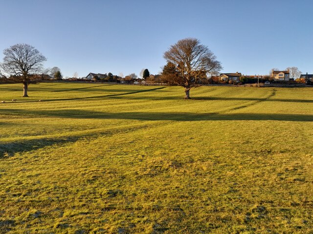
Image: © Christopher Hall Taken: 17 Jan 2023
The low light on a bright January day highlights the old field boundaries and the ridge and furrow in this large field on a south facing slope. Hutton Buscel village on the skyline. Many of these field boundaries were still extant at the time of the first 6" OS map of the area surveyed in 1850, but had gone by the end of the century
Images are licensed for reuse under creativecommons.org/licenses/by-sa/2.0
Image Location
Latitude
54.24492
Longitude
-0.504196