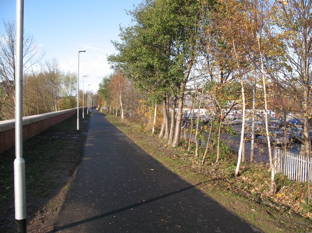
The Caldew Cycleway
Introduction
The photograph on this page of The Caldew Cycleway by Adrian Taylor as part of the Geograph project.
The Geograph project started in 2005 with the aim of publishing, organising and preserving representative images for every square kilometre of Great Britain, Ireland and the Isle of Man.
There are currently over 7.5m images from over 14,400 individuals and you can help contribute to the project by visiting https://www.geograph.org.uk

Image: © Adrian Taylor Taken: 13 Nov 2009
The Caldew Cycleway between the River Caldew, behind the flood defence wall to the left, and Lower Viaduct Car Park behind the trees to the right. The Caldew Cycleway is the route of The Cumbria Way long distance path (next photograph Image). This part of the Cycleway follows a former railway that allowed freight trains to bypass Carlisle Citadel Station. The line was electrified as a part of the West Coast Electrification but was closed and dismantled soon after, following a freight train derailment on the 1st May 1984. Railway engineers had assessed the damage as not too serious and were getting ready to repair this useful line, but the Conservative Government under Margaret Thatcher issued an instruction that the line should be closed. This was in accordance with government policy at that time to reduce railway mileage. Freight operators have subsequently pushed for the line to be reinstated to avoid congestion and delays, but the decision to build the flood defence wall along the railway formation has made reopening unlikely due to the increased cost.

