Cycle Route 7, Marr College
Introduction
The photograph on this page of Cycle Route 7, Marr College by Jonathan Wilkins as part of the Geograph project.
The Geograph project started in 2005 with the aim of publishing, organising and preserving representative images for every square kilometre of Great Britain, Ireland and the Isle of Man.

There are currently over 7.5m images from over 14,400 individuals and you can help contribute to the project by visiting https://www.geograph.org.uk
Cycle Route 7, Marr College
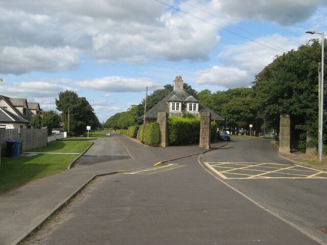
Image: © Jonathan Wilkins Taken: 12 Sep 2023
Another rather mind-stretching transformation of the former railway line at the entrance to Marr College. Although Marr College was built in 1935, it does not appear on the 1938 revision of the OS map, so the actual juxtaposition of the railway and college is obscure.
Images are licensed for reuse under creativecommons.org/licenses/by-sa/2.0
Image Location
Latitude
55.54625
Longitude
-4.64586