Public footpath passing through maize in a field to the east of Kenfig
Introduction
The photograph on this page of Public footpath passing through maize in a field to the east of Kenfig by eswales as part of the Geograph project.
The Geograph project started in 2005 with the aim of publishing, organising and preserving representative images for every square kilometre of Great Britain, Ireland and the Isle of Man.

There are currently over 7.5m images from over 14,400 individuals and you can help contribute to the project by visiting https://www.geograph.org.uk
Public footpath passing through maize in a field to the east of Kenfig
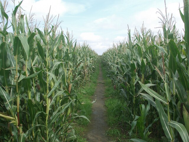
Image: © eswales Taken: 15 Sep 2023
This is the public footpath which runs between Sandville Court and Heol-y-Broom. Its course at this point is slightly different to the one shown on Ordnance Survey maps, being a little to the west of the latter until Heol-y-Broom is reached.
Images are licensed for reuse under creativecommons.org/licenses/by-sa/2.0
Image Location
Latitude
51.516147
Longitude
-3.717254