The A338, Shalbourne
Introduction
The photograph on this page of The A338, Shalbourne by Andrew Smith as part of the Geograph project.
The Geograph project started in 2005 with the aim of publishing, organising and preserving representative images for every square kilometre of Great Britain, Ireland and the Isle of Man.

There are currently over 7.5m images from over 14,400 individuals and you can help contribute to the project by visiting https://www.geograph.org.uk
The A338, Shalbourne
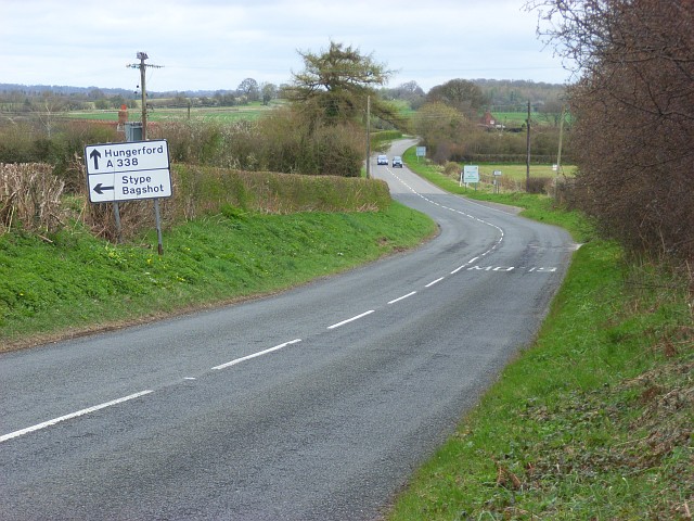
Image: © Andrew Smith Taken: 5 Apr 2008
Heading towards Hungerford. The road enters Berkshire where the cars are - on the northern edge of this grid-square.
Images are licensed for reuse under creativecommons.org/licenses/by-sa/2.0
Image Location
Latitude
51.381325
Longitude
-1.534398