Arable land near Stoke Orchard in a hailstorm
Introduction
The photograph on this page of Arable land near Stoke Orchard in a hailstorm by Roger Davies as part of the Geograph project.
The Geograph project started in 2005 with the aim of publishing, organising and preserving representative images for every square kilometre of Great Britain, Ireland and the Isle of Man.

There are currently over 7.5m images from over 14,400 individuals and you can help contribute to the project by visiting https://www.geograph.org.uk
Arable land near Stoke Orchard in a hailstorm
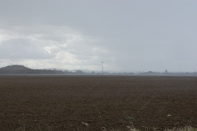
Image: © Roger Davies Taken: 11 Apr 2008
View looks southwards across a wide arable field towards a mobile telephone tower with 'The Park' industrial estate on the left. During WW2 this was the site of RAF Stoke Orchard - a grass landing strip used by training aircraft and gliders.
Images are licensed for reuse under creativecommons.org/licenses/by-sa/2.0
Image Location


Leaflet Map data © OpenStreetMap
Latitude
51.948828
Longitude
-2.10471