Old level crossing at Ogmore Vale
Introduction
The photograph on this page of Old level crossing at Ogmore Vale by Alan Hughes as part of the Geograph project.
The Geograph project started in 2005 with the aim of publishing, organising and preserving representative images for every square kilometre of Great Britain, Ireland and the Isle of Man.

There are currently over 7.5m images from over 14,400 individuals and you can help contribute to the project by visiting https://www.geograph.org.uk
Old level crossing at Ogmore Vale
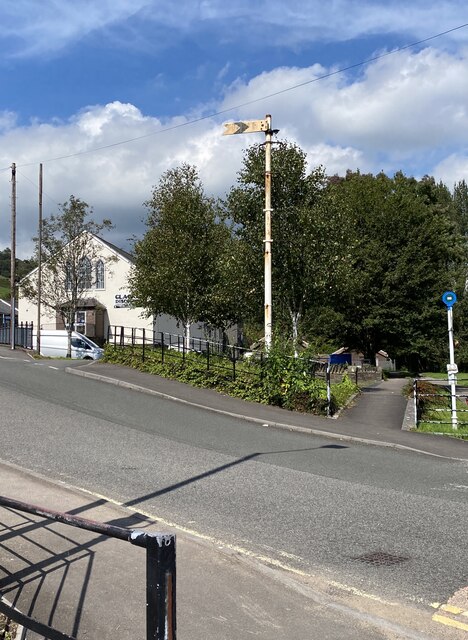
Image: © Alan Hughes Taken: 3 Sep 2023
What was the railway is now a cycle track. To the left is the old Wesley Chapel, now a carpet warehouse. Changing times!
Images are licensed for reuse under creativecommons.org/licenses/by-sa/2.0
Image Location
Latitude
51.60418
Longitude
-3.542523