Gate Field/Upper Barn Field
Introduction
The photograph on this page of Gate Field/Upper Barn Field by Simon Carey as part of the Geograph project.
The Geograph project started in 2005 with the aim of publishing, organising and preserving representative images for every square kilometre of Great Britain, Ireland and the Isle of Man.

There are currently over 7.5m images from over 14,400 individuals and you can help contribute to the project by visiting https://www.geograph.org.uk
Gate Field/Upper Barn Field
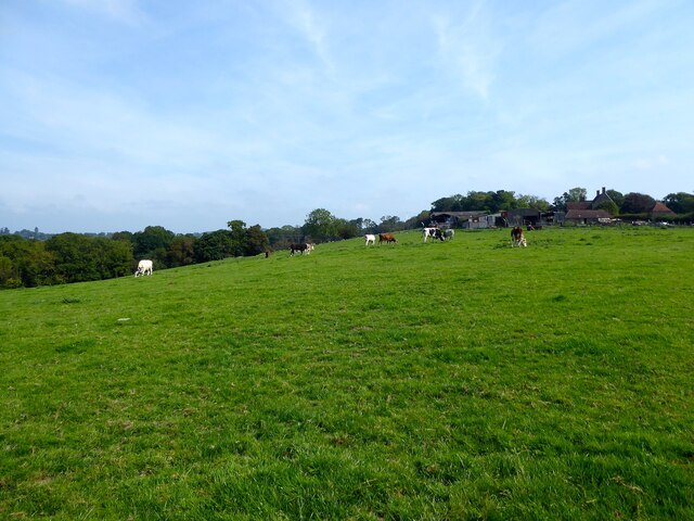
Image: © Simon Carey Taken: 3 Sep 2023
The name of the fields according to Ninfield's 1844 tithe map that have been merged. Upper barn Field is on the plateau bounded by Lower Standard Hill Farm to the east whilst gate Field is on the slope.
Images are licensed for reuse under creativecommons.org/licenses/by-sa/2.0
Image Location
Latitude
50.889574
Longitude
0.403018