Fields near England Springs level crossing
Introduction
The photograph on this page of Fields near England Springs level crossing by DS Pugh as part of the Geograph project.
The Geograph project started in 2005 with the aim of publishing, organising and preserving representative images for every square kilometre of Great Britain, Ireland and the Isle of Man.

There are currently over 7.5m images from over 14,400 individuals and you can help contribute to the project by visiting https://www.geograph.org.uk
Fields near England Springs level crossing
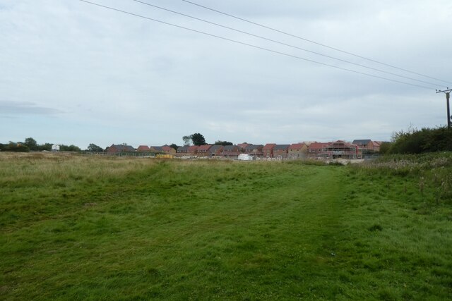
Image: © DS Pugh Taken: 31 Aug 2023
A new housing development is under construction and the level crossing has now been closed.
Images are licensed for reuse under creativecommons.org/licenses/by-sa/2.0
Image Location
Latitude
53.834599
Longitude
-0.420533