Nos. 596 & 594 Stonegate Road on SE side of B6157
Introduction
The photograph on this page of Nos. 596 & 594 Stonegate Road on SE side of B6157 by Roger Templeman as part of the Geograph project.
The Geograph project started in 2005 with the aim of publishing, organising and preserving representative images for every square kilometre of Great Britain, Ireland and the Isle of Man.

There are currently over 7.5m images from over 14,400 individuals and you can help contribute to the project by visiting https://www.geograph.org.uk
Nos. 596 & 594 Stonegate Road on SE side of B6157
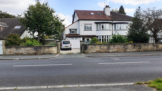
Image: © Roger Templeman Taken: 10 Aug 2023
Ordnance Survey documents indicate that a benchmark levelled at 139.446m above Newlyn Datum was verified in 1957 on a wall junction on the wall near the left hand edge of this image. However, no definite mark was found.
Images are licensed for reuse under creativecommons.org/licenses/by-sa/2.0
Image Location
Latitude
53.845725
Longitude
-1.538823