Barley field at Drumdreel
Introduction
The photograph on this page of Barley field at Drumdreel by M J Richardson as part of the Geograph project.
The Geograph project started in 2005 with the aim of publishing, organising and preserving representative images for every square kilometre of Great Britain, Ireland and the Isle of Man.

There are currently over 7.5m images from over 14,400 individuals and you can help contribute to the project by visiting https://www.geograph.org.uk
Barley field at Drumdreel
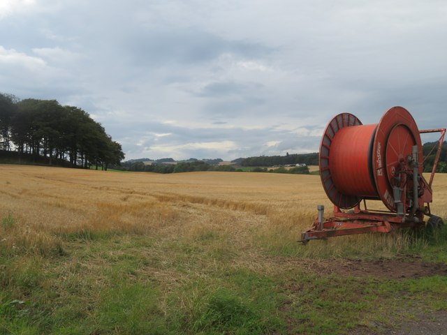
Image: © M J Richardson Taken: 23 Aug 2023
Ready for harvest. The irrigation reel is presumably linked to the adjacent brassica crop Image
Images are licensed for reuse under creativecommons.org/licenses/by-sa/2.0
Image Location
Latitude
56.269797
Longitude
-3.291222