Montrose High Street, Montrose, Angus
Introduction
The photograph on this page of Montrose High Street, Montrose, Angus by Adrian Diack as part of the Geograph project.
The Geograph project started in 2005 with the aim of publishing, organising and preserving representative images for every square kilometre of Great Britain, Ireland and the Isle of Man.

There are currently over 7.5m images from over 14,400 individuals and you can help contribute to the project by visiting https://www.geograph.org.uk
Montrose High Street, Montrose, Angus
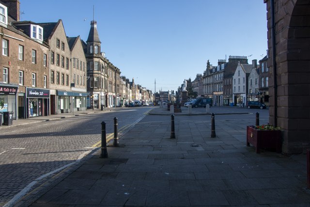
Image: © Adrian Diack Taken: 29 Jun 2023
It is thought that Montrose received its first charter from David I'st of Scotland who reigned between 1124-53 and that it became a Royal Burgh around 1130. The layout of Montrose is one of the best examples of early burgh planning in Scotland with the long and broad High Street being particularly prominent. Many of the older houses were built with their gable ends facing the High Street and the sea so as to give some protection from strong, east winds. The demonym for Montrosians is " Gable Enders."
Images are licensed for reuse under creativecommons.org/licenses/by-sa/2.0
Image Location
Latitude
56.713441
Longitude
-2.468162