Tregoniggie stream
Introduction
The photograph on this page of Tregoniggie stream by Rod Allday as part of the Geograph project.
The Geograph project started in 2005 with the aim of publishing, organising and preserving representative images for every square kilometre of Great Britain, Ireland and the Isle of Man.

There are currently over 7.5m images from over 14,400 individuals and you can help contribute to the project by visiting https://www.geograph.org.uk
Tregoniggie stream
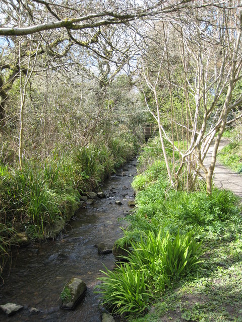
Image: © Rod Allday Taken: 9 Apr 2008
This stream runs through a linear park which forms a green belt between the Tregoniggie Industrial Estate and residential areas
Images are licensed for reuse under creativecommons.org/licenses/by-sa/2.0
Image Location
Latitude
50.154318
Longitude
-5.0922