Gaidrew
Introduction
The photograph on this page of Gaidrew by Richard Sutcliffe as part of the Geograph project.
The Geograph project started in 2005 with the aim of publishing, organising and preserving representative images for every square kilometre of Great Britain, Ireland and the Isle of Man.

There are currently over 7.5m images from over 14,400 individuals and you can help contribute to the project by visiting https://www.geograph.org.uk
Gaidrew
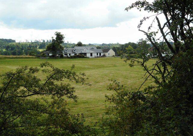
Image: © Richard Sutcliffe Taken: 4 Aug 2023
An extended Gaidrew Farmhouse and associated cottage. Seen from the route of the former Forth and Clyde Junction Railway line. This is part of National Cycle Network Route 7.
Images are licensed for reuse under creativecommons.org/licenses/by-sa/2.0
Image Location
Latitude
56.047313
Longitude
-4.429718