The Commons, Donaghadee
Introduction
The photograph on this page of The Commons, Donaghadee by Albert Bridge as part of the Geograph project.
The Geograph project started in 2005 with the aim of publishing, organising and preserving representative images for every square kilometre of Great Britain, Ireland and the Isle of Man.

There are currently over 7.5m images from over 14,400 individuals and you can help contribute to the project by visiting https://www.geograph.org.uk
The Commons, Donaghadee
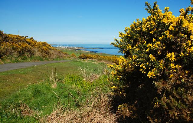
Image: © Albert Bridge Taken: 8 Apr 2008
The area between the old railway and the sea is now a popular spot, laid out with paths, for strolling and walking the dog. It seems that it was once an agricultural area cultivated by means of lazy beds Image
Images are licensed for reuse under creativecommons.org/licenses/by-sa/2.0
Image Location
Latitude
54.636649
Longitude
-5.530904