New housing development
Introduction
The photograph on this page of New housing development by Jay Pea as part of the Geograph project.
The Geograph project started in 2005 with the aim of publishing, organising and preserving representative images for every square kilometre of Great Britain, Ireland and the Isle of Man.

There are currently over 7.5m images from over 14,400 individuals and you can help contribute to the project by visiting https://www.geograph.org.uk
New housing development
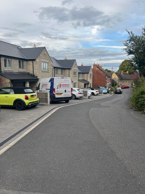
Image: © Jay Pea Taken: 28 Jul 2023
New homes built on the Crescent. See also Malcolm Neal's April 2018 photo Image .
Images are licensed for reuse under creativecommons.org/licenses/by-sa/2.0
Image Location
Latitude
53.002062
Longitude
-1.417621