Holden Street Allotments
Introduction
The photograph on this page of Holden Street Allotments by Ian Calderwood as part of the Geograph project.
The Geograph project started in 2005 with the aim of publishing, organising and preserving representative images for every square kilometre of Great Britain, Ireland and the Isle of Man.

There are currently over 7.5m images from over 14,400 individuals and you can help contribute to the project by visiting https://www.geograph.org.uk
Holden Street Allotments
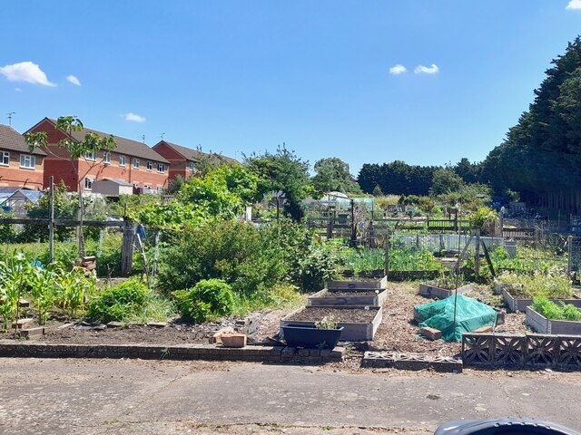
Image: © Ian Calderwood Taken: 7 Jul 2023
There have been allotments here since at least the late 19th century. The current site is much smaller than it was back then.
Images are licensed for reuse under creativecommons.org/licenses/by-sa/2.0
Image Location
Latitude
52.654432
Longitude
-1.124521