Teats Hill Flats, Coxside, Plymouth
Introduction
The photograph on this page of Teats Hill Flats, Coxside, Plymouth by Christine Johnstone as part of the Geograph project.
The Geograph project started in 2005 with the aim of publishing, organising and preserving representative images for every square kilometre of Great Britain, Ireland and the Isle of Man.

There are currently over 7.5m images from over 14,400 individuals and you can help contribute to the project by visiting https://www.geograph.org.uk
Teats Hill Flats, Coxside, Plymouth
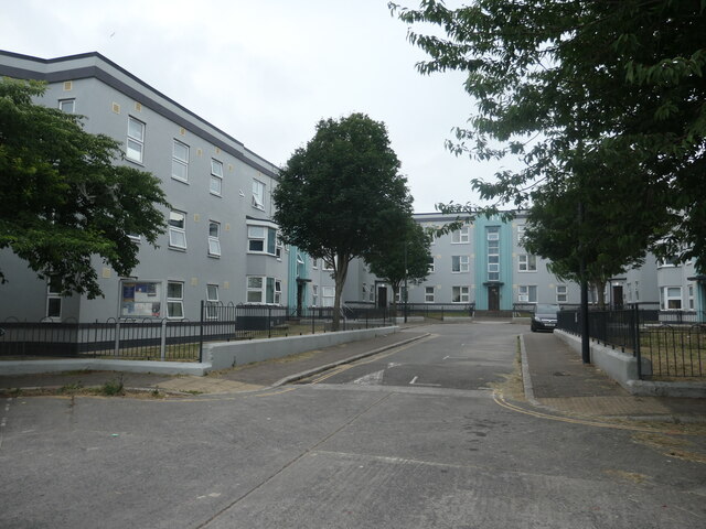
Image: © Christine Johnstone Taken: 28 Jun 2023
Planned in the 1930s and built in the 1950s, high above Cattewater.
Images are licensed for reuse under creativecommons.org/licenses/by-sa/2.0
Image Location
Latitude
50.365607
Longitude
-4.127864