Footpath, Duntish
Introduction
The photograph on this page of Footpath, Duntish by Derek Harper as part of the Geograph project.
The Geograph project started in 2005 with the aim of publishing, organising and preserving representative images for every square kilometre of Great Britain, Ireland and the Isle of Man.

There are currently over 7.5m images from over 14,400 individuals and you can help contribute to the project by visiting https://www.geograph.org.uk
Footpath, Duntish
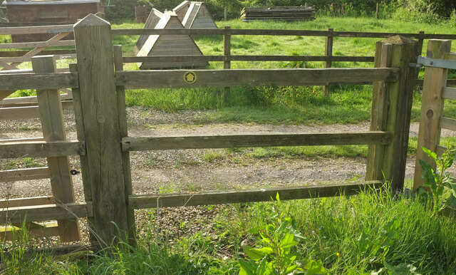
Image: © Derek Harper Taken: 21 May 2022
It took a little while to follow the route of footpath S10 6 from the B3143. This looks back the way I have come, across a Duntish-style stile, otherwise known as a fence with a waymark.
Images are licensed for reuse under creativecommons.org/licenses/by-sa/2.0
Image Location


Leaflet Map data © OpenStreetMap
Latitude
50.857647
Longitude
-2.43583