Weak Bridge, The Greenway, West Ruislip
Introduction
The photograph on this page of Weak Bridge, The Greenway, West Ruislip by Robin Stott as part of the Geograph project.
The Geograph project started in 2005 with the aim of publishing, organising and preserving representative images for every square kilometre of Great Britain, Ireland and the Isle of Man.

There are currently over 7.5m images from over 14,400 individuals and you can help contribute to the project by visiting https://www.geograph.org.uk
Weak Bridge, The Greenway, West Ruislip
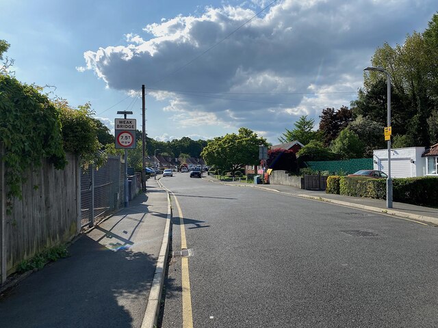
Image: © Robin Stott Taken: 20 May 2023
The Greenway, a residential cul-de-sac south of the Chiltern main line, crosses the Ickenham Stream. Signs draw attention to a weak bridge. The footpath beside the stream has been diverted for the duration of the HS2 works north of the existing railway: see Image
Images are licensed for reuse under creativecommons.org/licenses/by-sa/2.0
Image Location
Latitude
51.570635
Longitude
-0.442932