Path alongside Kylintra Burn, Grantown-on-Spey
Introduction
The photograph on this page of Path alongside Kylintra Burn, Grantown-on-Spey by Malc McDonald as part of the Geograph project.
The Geograph project started in 2005 with the aim of publishing, organising and preserving representative images for every square kilometre of Great Britain, Ireland and the Isle of Man.

There are currently over 7.5m images from over 14,400 individuals and you can help contribute to the project by visiting https://www.geograph.org.uk
Path alongside Kylintra Burn, Grantown-on-Spey
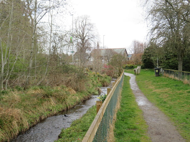
Image: © Malc McDonald Taken: 24 Apr 2023
A path along the bank of Kylintra Burn in Grantown-on-Spey, in the Cairngorms National Park.
Images are licensed for reuse under creativecommons.org/licenses/by-sa/2.0
Image Location
Latitude
57.325867
Longitude
-3.614382