Holy Trinity Church Tottenham
Introduction
The photograph on this page of Holy Trinity Church Tottenham by John Kingdon as part of the Geograph project.
The Geograph project started in 2005 with the aim of publishing, organising and preserving representative images for every square kilometre of Great Britain, Ireland and the Isle of Man.

There are currently over 7.5m images from over 14,400 individuals and you can help contribute to the project by visiting https://www.geograph.org.uk
Holy Trinity Church Tottenham
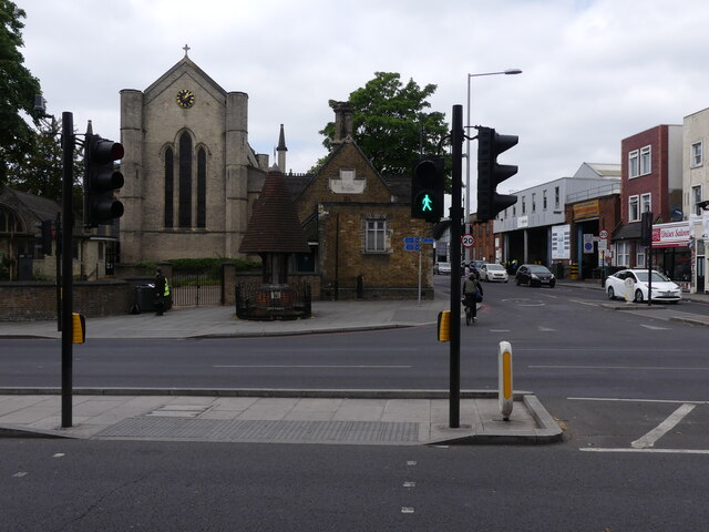
Image: © John Kingdon Taken: 31 May 2023
A wealth of historic buildings: Holy Trinity Church and its 1847 Sunday and Infants school, the Tottenham Well and across Philip Lane the Tottenham bus garage.
Images are licensed for reuse under creativecommons.org/licenses/by-sa/2.0
Image Location
Latitude
51.588309
Longitude
-0.0709