3-4, Highfield Cottages, Vicarage Lane, Burwash Common
Introduction
The photograph on this page of 3-4, Highfield Cottages, Vicarage Lane, Burwash Common by Simon Carey as part of the Geograph project.
The Geograph project started in 2005 with the aim of publishing, organising and preserving representative images for every square kilometre of Great Britain, Ireland and the Isle of Man.

There are currently over 7.5m images from over 14,400 individuals and you can help contribute to the project by visiting https://www.geograph.org.uk
3-4, Highfield Cottages, Vicarage Lane, Burwash Common
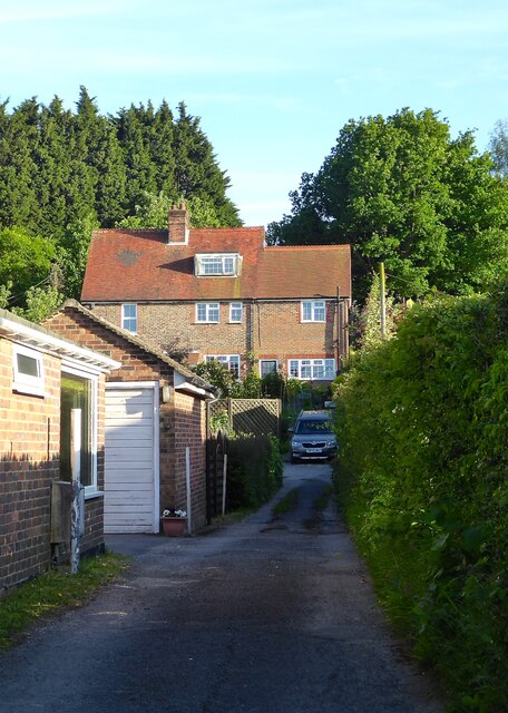
Image: © Simon Carey Taken: 29 May 2023
Set back from Vicarage Lane with numbers 1-2 out of shot to the left. Possibly built between the wars as the ealiest reference I can find is a 1947 aerial photograph.
Images are licensed for reuse under creativecommons.org/licenses/by-sa/2.0
Image Location
Latitude
50.98444
Longitude
0.337527