Permissive path near Pendeford in Staffordshire
Introduction
The photograph on this page of Permissive path near Pendeford in Staffordshire by Roger Kidd as part of the Geograph project.
The Geograph project started in 2005 with the aim of publishing, organising and preserving representative images for every square kilometre of Great Britain, Ireland and the Isle of Man.

There are currently over 7.5m images from over 14,400 individuals and you can help contribute to the project by visiting https://www.geograph.org.uk
Permissive path near Pendeford in Staffordshire
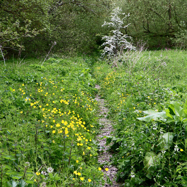
Image: © Roger Kidd Taken: 15 May 2023
Looking north-west towards Wobaston Road (three hundred metres), this very pleasant track leads from the Pendeford Public Nature Walk (and The Droveway). The River Penk is close by, off to the left.
Images are licensed for reuse under creativecommons.org/licenses/by-sa/2.0
Image Location


Leaflet Map data © OpenStreetMap
Latitude
52.627258
Longitude
-2.161874